Entrance gate
1 Bull Point DriveSeabrook, SC 29940Directions to the gate ↗Call the gate · 843-505-2942

Follow the shoreline, find the lakes, and understand how homesites and shared spaces connect.
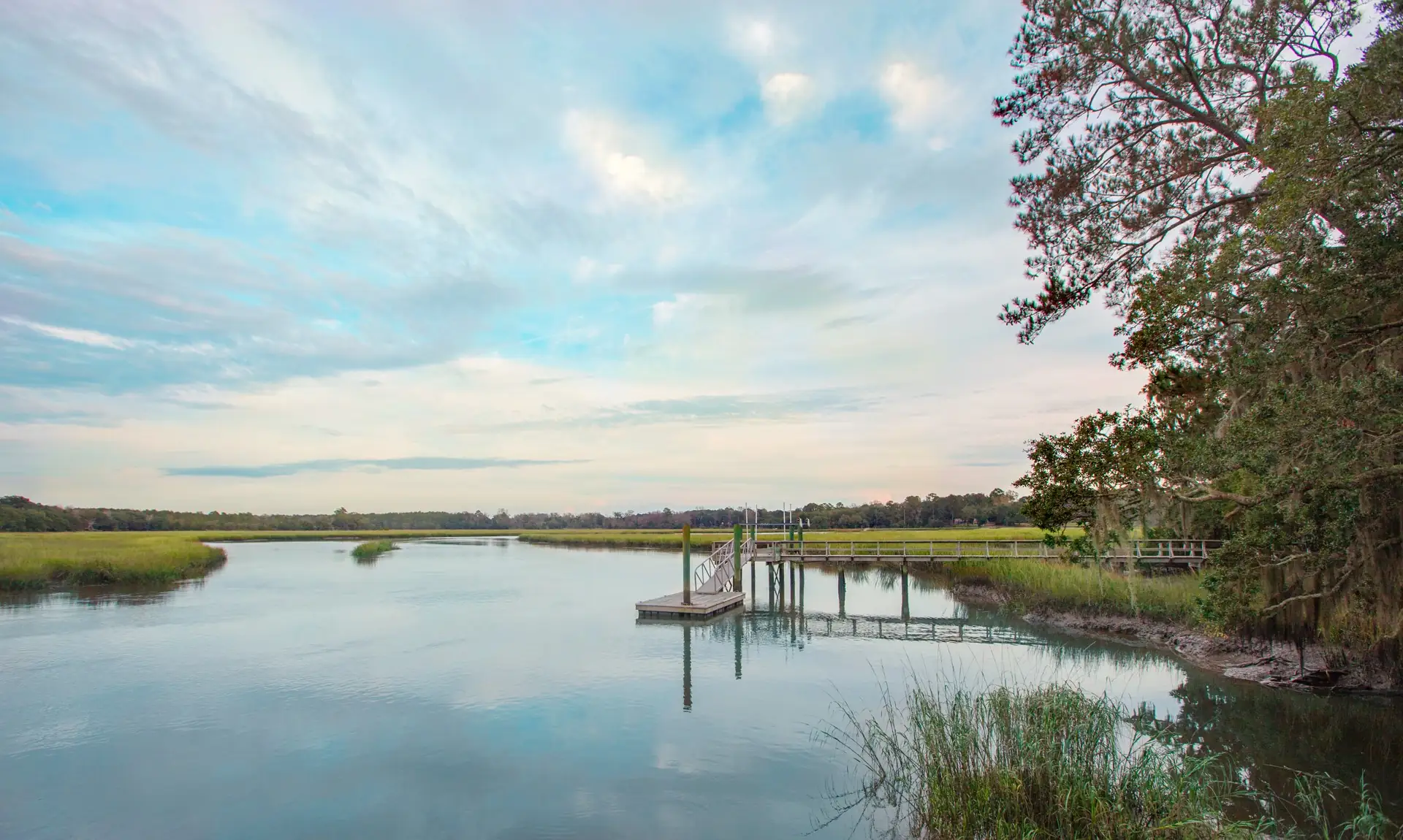
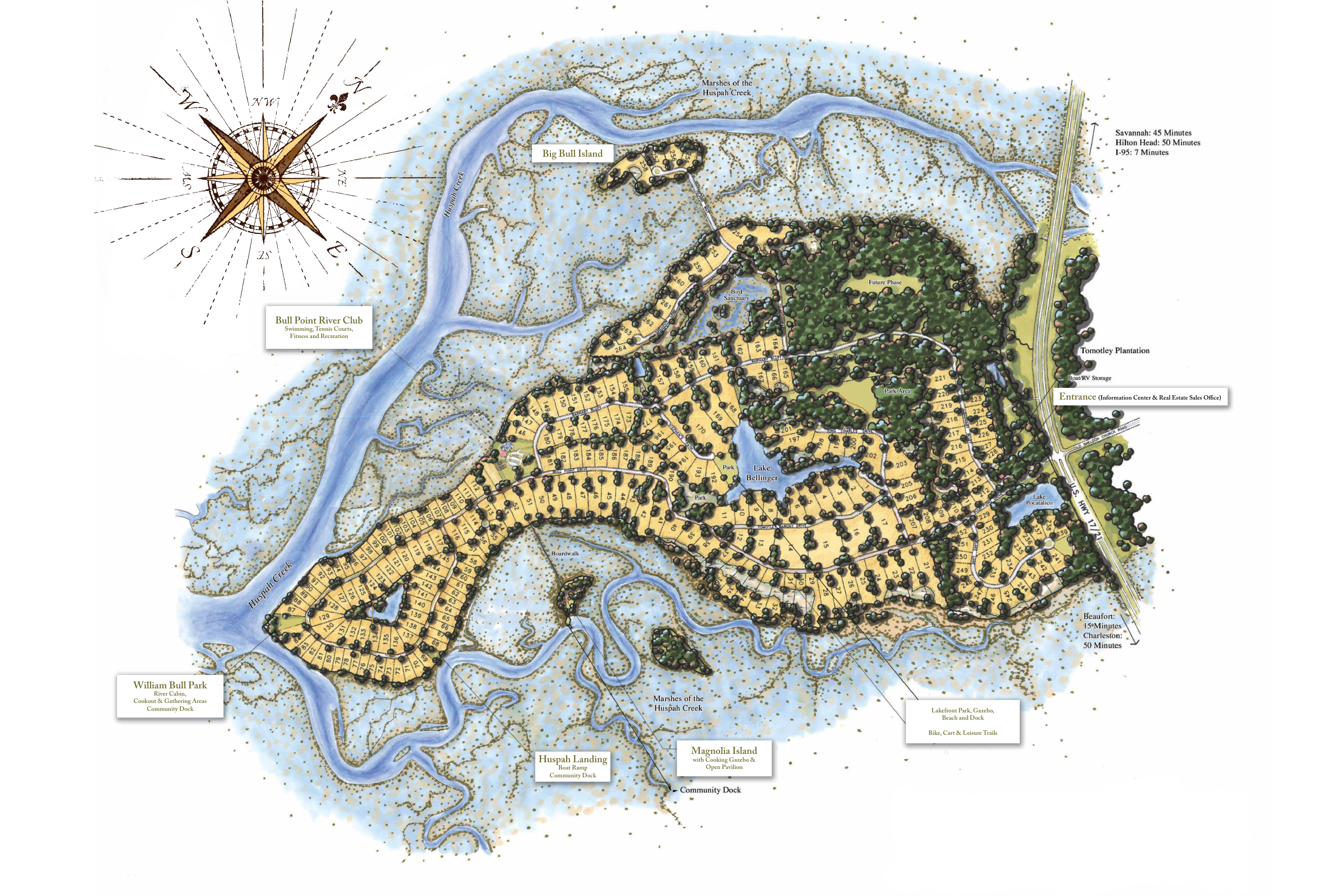
Illustrated community plan, 2016. Lot lines, future-phase labels, amenity names, and printed travel times are historical reference information, not current availability, a boundary survey, or present-day travel estimates.
Begin your visit at the entrance gate. Our team will confirm your meeting place when arranging your tour.
Gate office number listed in the Bull Point POA contact page. For property questions or a tour, contact our sales team.
Counting the numbered lots shown below gives 252. With the five adopted Phase VII paddocks, the combined total is 257 homesites and paddocks.
The map predates the adopted Phase VII layout. Its “Future Phase” label is historical; Phase VII now comprises five paddocks across 153 acres, following Bull Point SC, LLC’s reduction from 45 approved homesites to five.
The labels run from 1 through 264, but 12 numbers are absent: 7, 18, 19, 20, 85, 86, 156, 171, 191, 204, 222, and 240. Counting the displayed numbered lots therefore gives 264 − 12 = 252. Adding five Phase VII paddocks gives 257. Parks, amenities, and the unnumbered future-phase area are excluded. This is a count of this illustrated plan, not a survey or a current availability list.